Staying with us
Local amenities near the Centre
We want your stay to feel as straightforward as possible — so we've put together a directory of useful local services close to us. Churches, food and shops, medical services and transport links are all here, with a live map and turn-by-turn directions from the Centre.
Choose a category below, pick a location from the list that appears, and the map will update with directions from our gate.
Emergency contacts
Browse categories
What are you looking for?
All distances are calculated from the Centre gate on Carr Lane, Treales PR4 3SS.
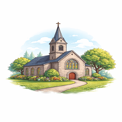
Churches
Worship, reflection and local church links near the Centre.
Local information
Churches
Find nearby churches for worship, reflection and group visits during your stay at the Centre.
Use the map below to explore local options, view key details and plan directions before travelling. Please confirm service times and accessibility directly with each church.
Step 1
Choose a location
Select a location to update the map, view details and get directions from the Centre.
Denomination icons are shown where known.
Step 2
Map and directions
Once you've chosen a location above, click it on the map or use the Suggested Route button to get turn-by-turn directions from the Centre.
Select a location to view its details here.
Route information
No route calculated yet. Select a location above and click Suggested Route.